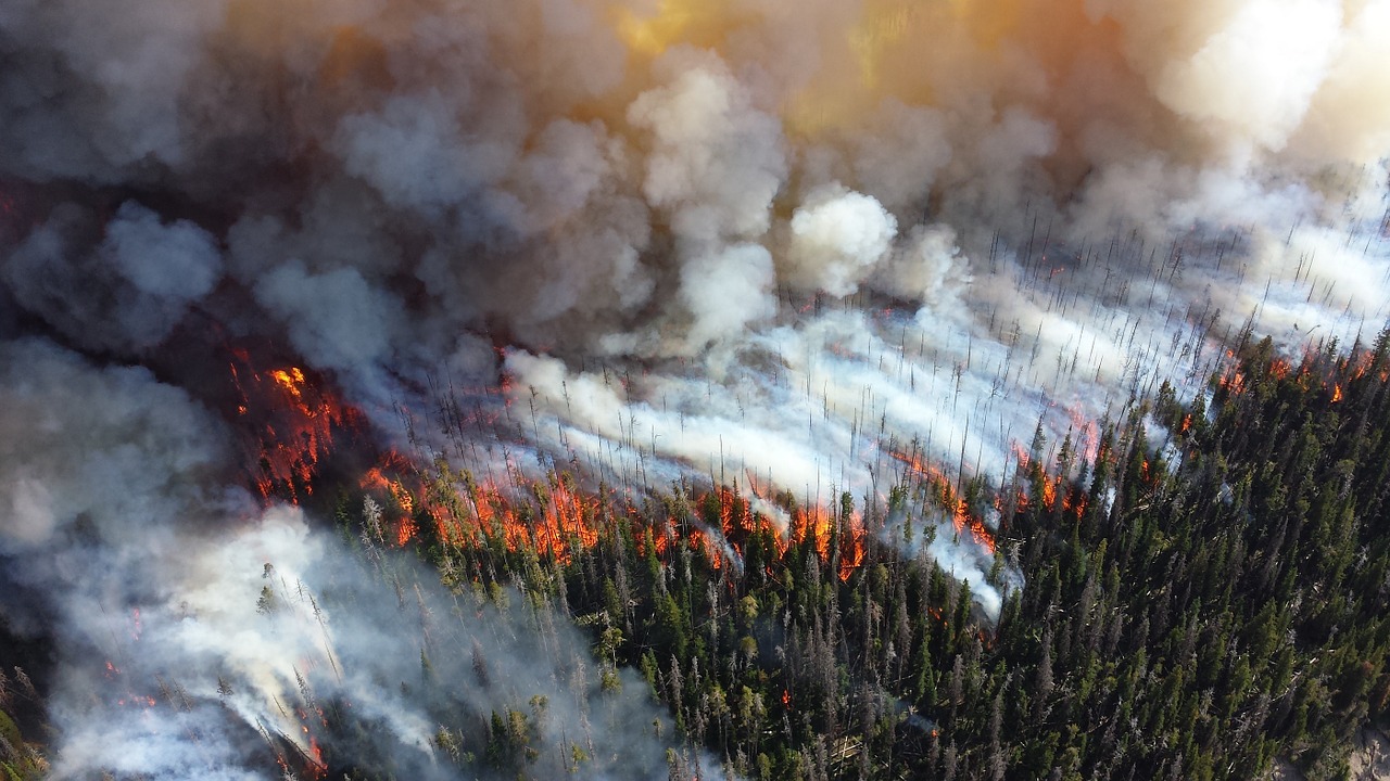
Officials across California are on edge about another potentially explosive wildfire season as the calendar heads towards the hot summer months.
Fire experts warn that heavy rains of the past months produced an excess of vegetation, which will become dry fuel over the summer.
Last year was the deadliest and most destructive wildfire season in state history, according to reports.
After the Camp Fire, burned in and around the town of Paradise, the California Department of Forestry and Fire Protection conducted a risk assessment. They found roughly 1 in 4 Californians, or an estimated 11 million people, live in “high risk” wildfire areas.
“I anticipate there’s a whole lot of people in suburban Southern California, and frankly in the Bay Area, that would never consider themselves a part of that ‘1 out of 4 Californians that live in a fire risk area,’ but they actually do,” Wade Crowfoot, head of the California Natural Resources Agency told the LA Times.
California will have new tools at its disposal in cooperation with the Pentagon as it tries to avoid another destructive fire season.
The Defense Department agreed to provide information from a military satellite to help spot new wildfires, and Acting Defense Secretary Patrick Shanahan gave the California National Guard blanket approval to use unmanned drones to map fires, according to reports.
Since the start of the year, more than 1,300 wildfires in the state have burned 12,247 acres of land, according to CalFire.
Read more at latimes.com.


