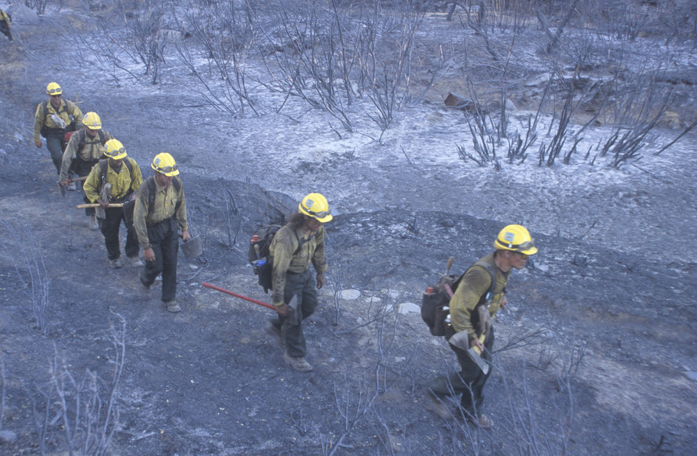
It takes grueling groundwork to stop a wildfire, but firefighters in Southern California are hoping big data and artificial intelligence can help save lives and property.
According to the New York Times, the Los Angeles Fire Department has been testing a program for the past 18 months that makes fast predictions about where active fires will spread next.
The program, developed by the WiFire Lab in San Diego, pulls together real-time data about the topography of the fire area, weather conditions, and on-the-ground sensors among other variables, making calculations in minutes about the direction of a blaze that would take hours to run manually.
According to the New York Times:
When firefighters across the city are dispatched to respond to brush fires, the department’s leaders at headquarters now run the WiFire program as part of their initial protocol. Then, WiFire’s servers at the San Diego Supercomputer Center in La Jolla crunch the numbers, and the program turns out a predictive map of the fire’s expected trajectory. Those maps can then be transmitted electronically from headquarters to incident commanders on the ground.
“It’s not the only, singular solution for fighting fires,” Ralph Terrazas, the chief of the Los Angeles Fire Department told the paper. “But it is one piece that help us make better, faster, calculated decisions.”
Along with LAFD the Los Angeles County Fire Department, the Orange County Fire Authority, San Diego Fire Rescue, the Ventura County Fire Department, and the State of California Public Utilities Commission are also partnering with WiFire.
Read more about the WiFire program at nytimes.com.
Photo credit: Joseph Sohm / Shutterstock.com