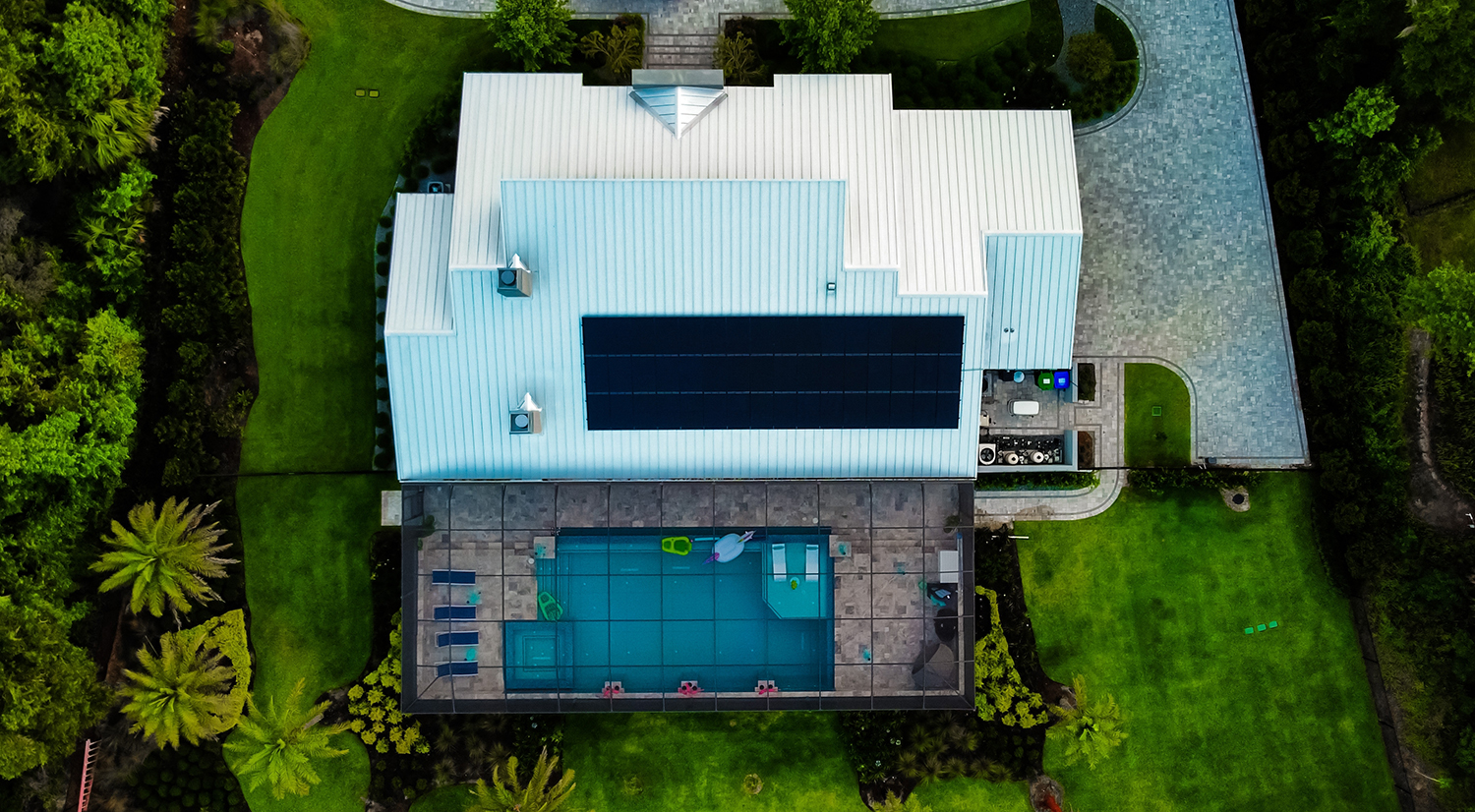
Insurance companies nationwide are using aerial images to assess property risk and ditch properties seen as high risk.
Owners often only know about the sky-view images once they receive a non-renewal notice.
Why it matters: As insurers look to recover from large underwriting losses, many are scrambling to “derisk” their property portfolios. The photographs enable insurers to identify risks such as damaged roofs or undisclosed features like swimming pools.
Major insurers have withdrawn from high-risk areas like Florida and California. Last month, State Farm announced plans to drop coverage on roughly 30,000 residential and 42,000 commercial California properties.
What they’re saying: “If your roof is 20 years old and one hailstorm is going to take it off, you should pay more than somebody with a brand new roof,” Allstate CEO Tom Wilson said in an interview.
Yes, but: Reports of consumers being dropped by insurers based on aerial images have surged, raising concerns among consumer advocates about privacy and accuracy.
- Among chief concerns is whether customers can easily challenge images that might be outdated or inaccurate.
“The technology is way ahead of any consumer protections,” Douglas Heller, director of insurance at the Consumer Federation of America, told the WSJ.
Zooming out: Insurers defend the practice, citing improved underwriting and quicker responses to disasters.
But no place is shielded. The industry-funded Geospatial Insurance Consortium has an airplane imagery program that covers 99% of the U.S. population.
What’s next: According to the WSJ, aerial images are expected to become more detailed and frequent. If satellite launches go as planned, images could be updated daily by 2030, raising additional privacy concerns.
“It could get interesting from a privacy standpoint as…a property could be monitored daily at high resolution,” Neil Pearson, a consultant who works with imagery companies, told the WSJ.
Go deeper: Read more about how insurers are spying on your home from the sky.


